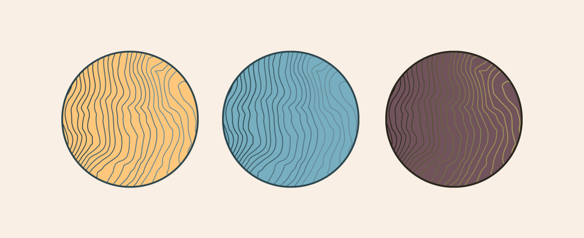
This is just a quick study in some earth tones and a new process that I am working on to produce graphic from topographical data. I really like the color combos and the way the color slightly graduates in the topographic lines.
About the topographic design tools:
I use a combination of a contour SVG generator from a Swiss developer, Christoph Hofstetter, for the actual data and Adobe Illustrator to make the topographic designs. It’s a super cool process for me because I really love maps and incorporating the places I love in my designs. This data happens to come from Bridger Bowl Ski Area here in Bozeman.